
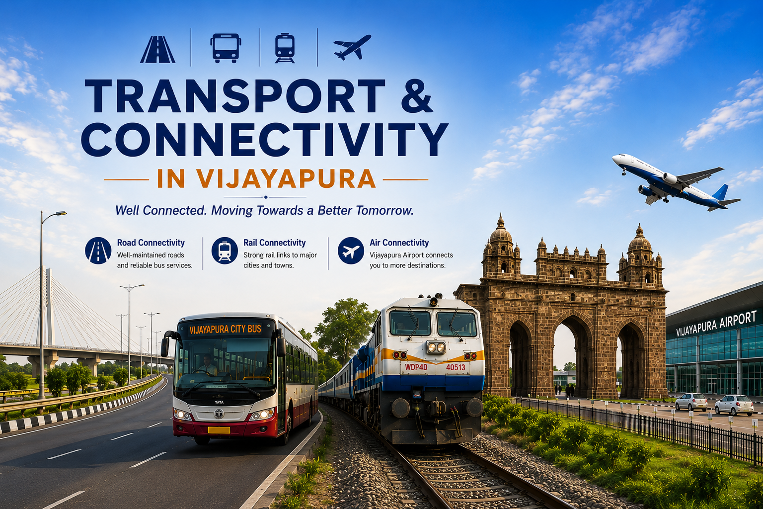
Connecting Vijayapura to the World
Vijayapura is an important district in northern Karnataka. Its location gives it strong regional connectivity.Transport plays an important role in the district’s development.Roads connect villages, towns and major cities.Railways provide convenient long-distance connectivity.Bus services support daily travel across the district.Air connectivity is also expanding with the new airport project.Together, these transport facilities support people and businesses.Vijayapura has a diverse and developing transport network.Roads remain central to everyday travel.Bus services provide important regional and local connectivity.Railways connect the district with major cities.Air connectivity is entering an important new phase.The upcoming airport can transform regional accessibility.Improved transportation can support tourism and business.It can also strengthen agriculture and employment opportunities.Better connectivity can improve the quality of everyday travel.Vijayapura is moving towards a more connected future
Road Connectivity
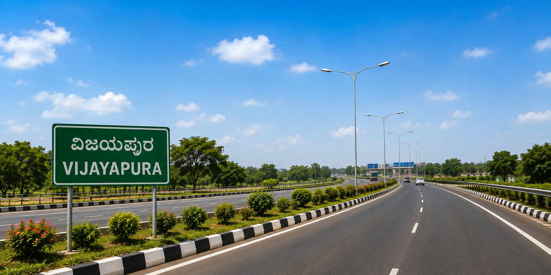
Road transport is one of the main ways to travel in Vijayapura. The district has an extensive network of roads.Roads connect Vijayapura city with surrounding towns and villages.Bus services provide affordable travel for residents.Private vehicles are also widely used for local transportation.Road connectivity supports education and employment.It also helps farmers transport agricultural produce.Traders depend on roads to move goods between markets.Well-connected roads support tourism across the district.They make historic attractions easier to reach.Agriculture is an important part of the district’s economy.Farmers depend on reliable transportation to reach markets.Roads help move crops from villages to trading centres.Transport facilities reduce travel time for agricultural goods.They help connect producers with larger markets.Trucks and other commercial vehicles support agricultural logistics.Better connectivity can improve access to storage facilities.It can also support agricultural businesses and processing units.Efficient transportation can reduce delays in supply chains.Bus transportation is an important part of everyday life.Vijayapura is well connected with other cities by bus.Buses provide connectivity between urban and rural areas.They are widely used by students and employees.They are also important for daily business travel.Bus services connectVijayapura with neighbouring districts.They provide an economical option for long-distance journeys
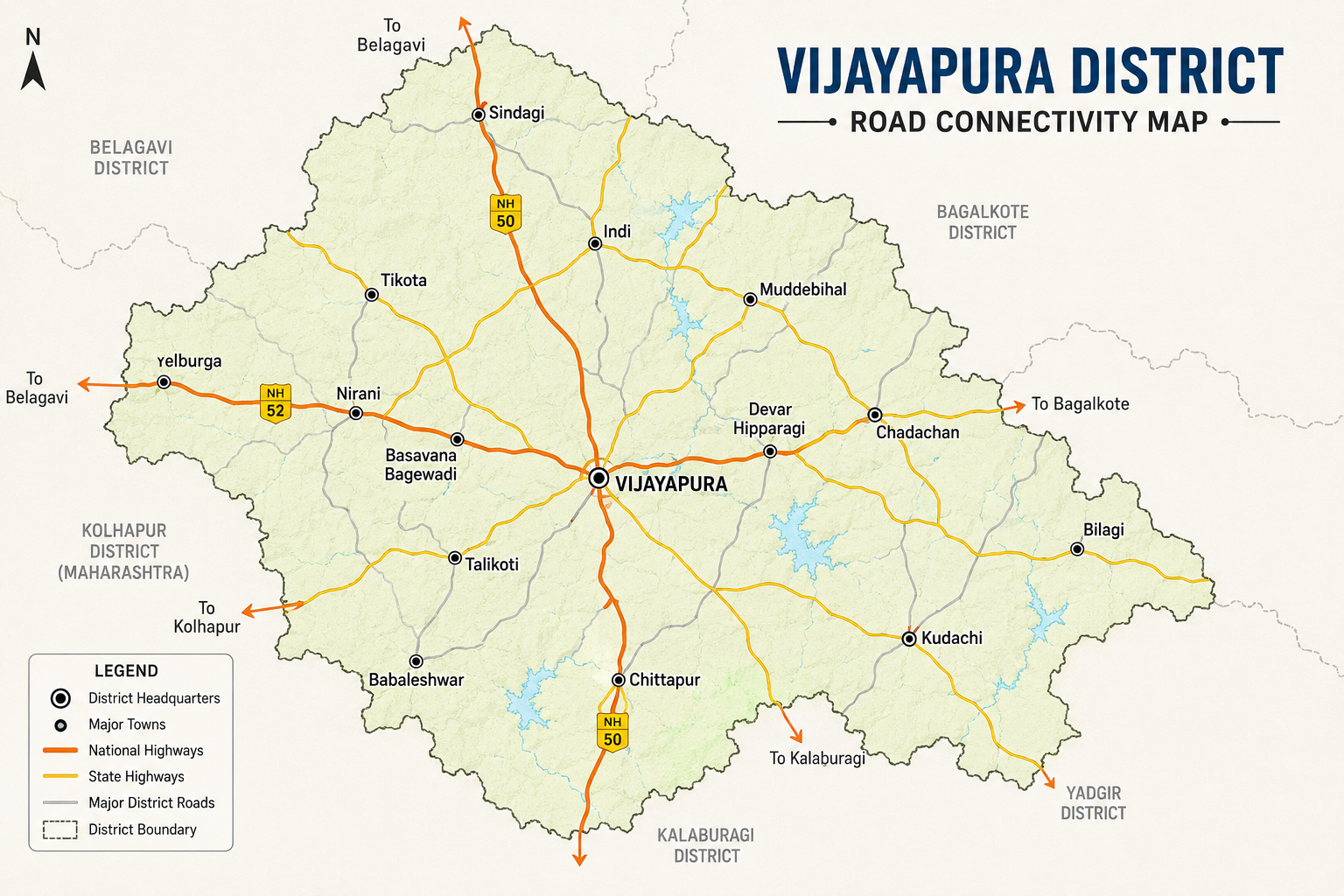
Road Transportation – Key Facts
District: Vijayapura, Karnataka
PWD road network: 3,422.76 km
National Highways: 317.07 km
State Highways: 708.50 km
Major District Roads: 2,397.19 km
PWD road network density: 38.21 km per 100 sq. km in 2024–25
Major road connections: Solapur, Kalaburagi, Bagalkot, Hubballi, Belagavi, Gadag, Hosapete, Raichur and Bengaluru
Public transport: Extensive bus connectivity between Vijayapura and other cities, towns and villages
Major role: Passenger transportation, agriculture, tourism, trade, commerce and rural connectivity Vijayapura district has a broad road network consisting of National Highways, State Highways and Major District Roads, supported by local and rural roads. This network connects the district headquarters with taluk centres, towns, villages, agricultural areas, markets and neighbouring districts. Road transportation remains a vital part of Vijayapura’s economy and everyday life, supporting agriculture, tourism, education, employment, trade
Railway Connectivity
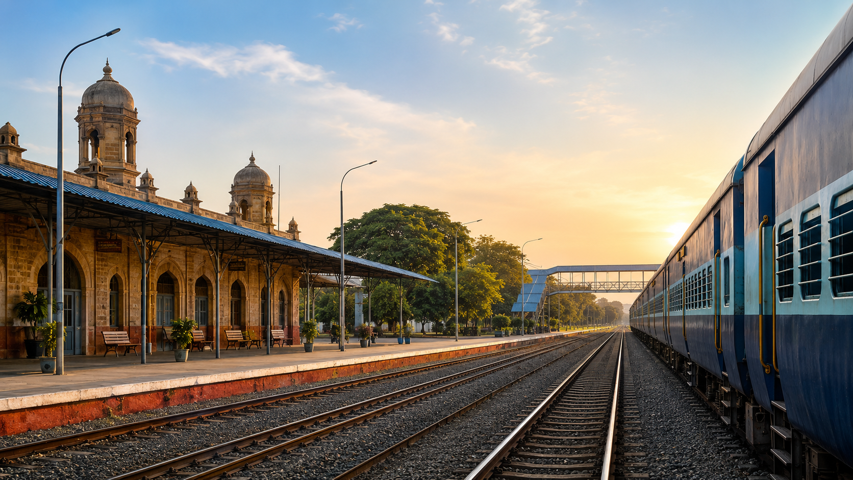
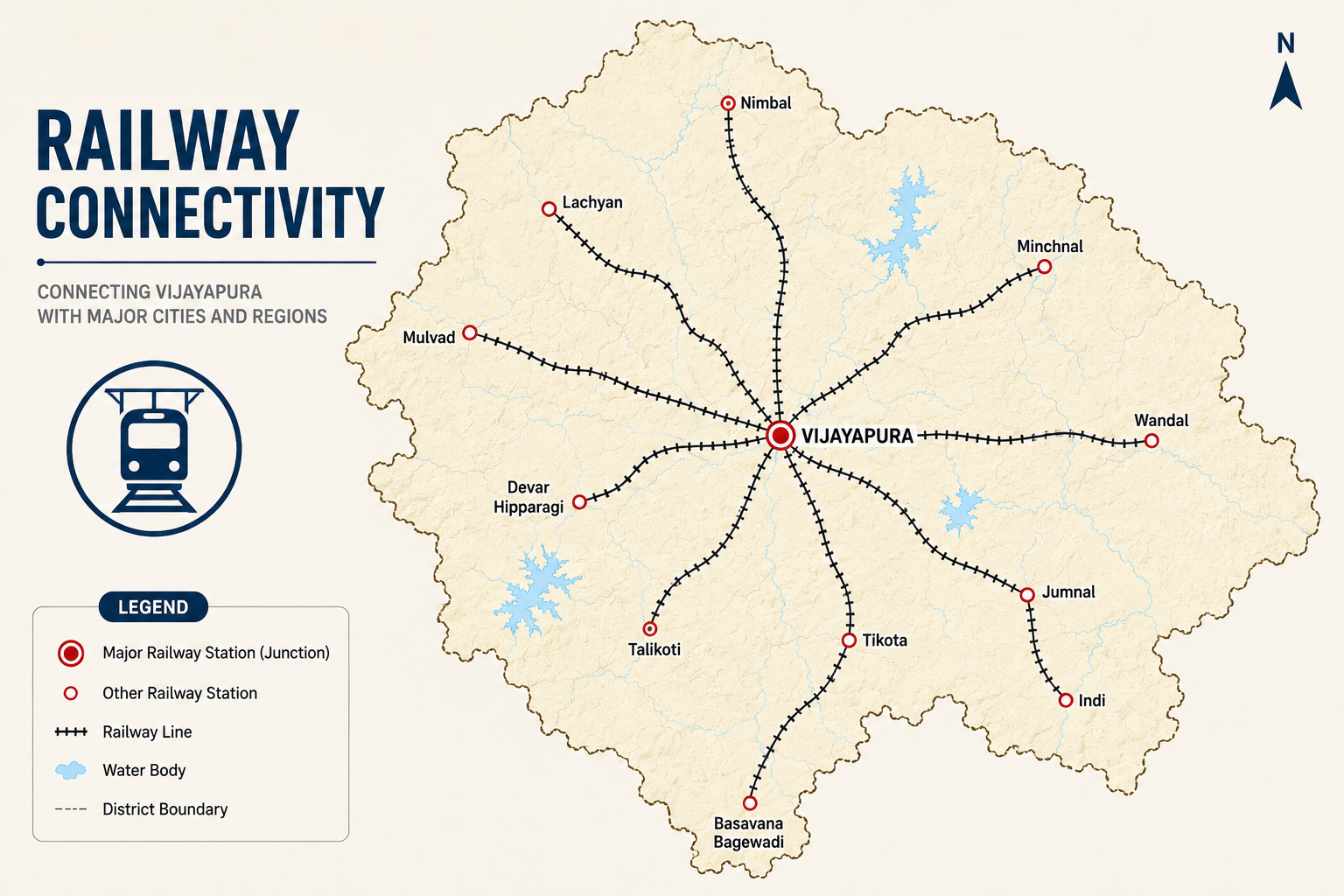
Vijayapura district has an important railway network that connects the district with major cities and towns across Karnataka and neighbouring states. Vijayapura Railway Station (BJP) serves as the main railway hub for the district and provides passenger services towards destinations such as Bengaluru, Mumbai, Hyderabad, Hubballi, Solapur and other important centres. Railway connectivity is especially useful for students, employees, business travellers and tourists, offering an economical and convenient option for long-distance travel. The railway network also supports tourism by making Vijayapura’s famous heritage attractions, including Gol Gumbaz, Ibrahim Rouza and Bara Kaman, accessible to visitors. Smaller railway stations in and around the district further extend rail access to nearby towns and rural communities. Railways also complement road transportation by supporting the movement of people and goods and connecting Vijayapura with important commercial and economic centres. With continued improvements in railway infrastructure and passenger facilities, rail connectivity can play an even greater role in supporting tourism, trade, education, employment and the overall development of Vijayapura district.
District: Vijayapura, Karnataka
Main Railway Station: Vijayapura Railway Station
Station Code: BJP
Railway Zone: South Western Railway (SWR)
Division: Hubballi Division
Vijayapura Station Elevation: Approximately 592 metres above sea level
Platforms at Vijayapura Station: 3
Track: Double electrified railway line
Major Railway Corridor: Gadag – Vijayapura – Solapur
Vijayapura to Solapur: Approximately 109 km
Vijayapura to Bagalkot: Approximately 97 km
Vijayapura to Gadag Junction: Approximately 190 km
Vijayapura to Hubballi Junction: Approximately 248 km
Vijayapura to Badami: Approximately 123 km
Vijayapura to Guledagudda Road: Approximately 110 km
Vijayapura to Hole Alur: Approximately 142 km
Vijayapura to Mallapur: Approximately 160 km
Vijayapura to Bengaluru/Yesvantpur: Approximately 742 km by the listed direct rail route
Air Connectivity
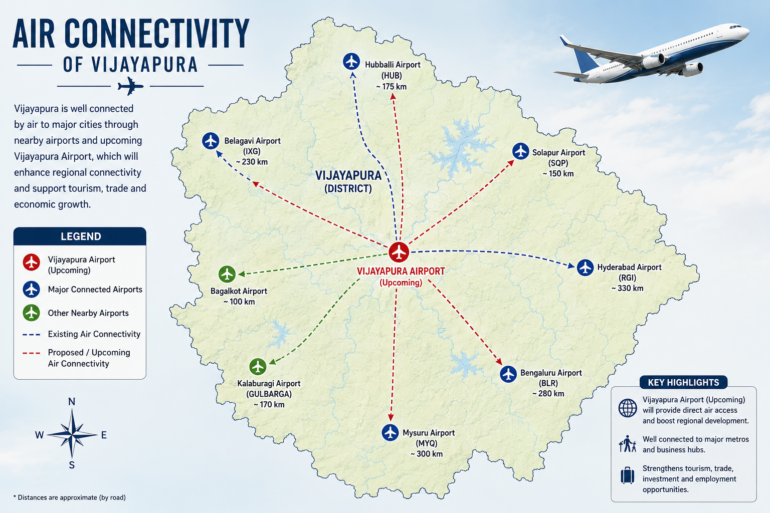
Air transportation is an emerging and important part of Vijayapura district’s connectivity. The development of Vijayapura Airport is expected to strengthen the district’s links with major cities and regions, making travel more convenient for residents, tourists and business travellers. The airport is being developed to support modern passenger aircraft and is expected to contribute to tourism, trade, investment and employment opportunities. At present, travellers from Vijayapura can use nearby airports such as Belagavi Airport, while road and rail services provide onward connectivity to the district. Once operational, the airport is expected to provide a faster travel option, improve regional accessibility and support the growth of Vijayapura as an important destination in northern Karnataka. The expansion of air connectivity will complement the district’s existing road and railway networks and contribute to its long-term economic and tourism development
District: Vijayapura, Karnataka
Upcoming Airport: Vijayapura Airport, Burnapur
Airport Status: Under development / nearing operationalisation
Expected Flight Operations: Targeted by the end of January 2027, subject to final technical and DGCA clearances
Runway: 2.65 km
Aircraft Capability: Designed to accommodate Airbus A320-class aircraft
Night Landing: Night-landing infrastructure is being developed
Nearest Domestic Airport: Belagavi Airport
Other Major Nearby Airports: Goa, Pune and Hyderabad
Airport Connectivity: Planned to strengthen connectivity between Vijayapura and major cities
Major Role: Tourism, business, trade, investment, employment and regional connectivity
Current Air Travel: Residents currently use nearby airports, particularly Belagavi, Goa, Pune and Hyderabad, for commercial air travel.Vijayapura district is developing its own greenfield airport at Burnapur on the outskirts of Vijayapura city. The airport project includes a 2.65-kilometre runway, terminal building, Air Traffic Control.